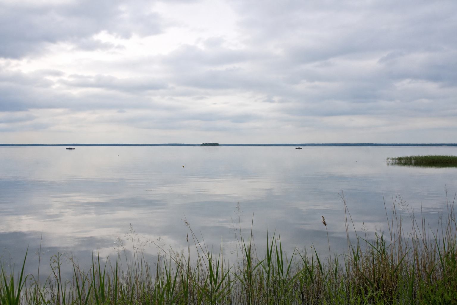
Why the water looks so wide
The lake is a leftover of ice-age melt and later peat cutting. Average depth is only a few metres, so colour shifts fast: pewter under cloud, thin gold at evening, opaque green after a warm week. Because there are no hills to stop the wind, waves can stand up even when the map still says “inland”. Sailors from Steinhude have used that fetch for generations; walkers feel it as a constant press on the ear.
A reed belt still guards much of the shore. It is not decoration. The reeds break wave energy, hold nesting ground for warblers and grebes, and keep the dike from washing. Nature park rules close some shallows to boats. That is why the most honest way to “see” the lake is often from the paved circuit, not from a hired hull nosing into the vegetation.
Steinhude, Mardorf and the circuit
Steinhude sits on the south-eastern corner with a brick harbour, smoked fish stalls and a promenade that still belongs to local walking rather than to a resort strip. Mardorf, on the north-eastern shore, is quieter: holiday houses, a bathing stretch, and an easy join onto the loop. Between them the path is almost flat. You ride or walk with water on one hand and wet meadow on the other. After rain the meadows shine; in late summer they bronze at the edges.
Wilhelmstein, the tiny fortress island, is a historical footnote in the middle of the water. It is worth a boat trip if you care about eighteenth-century military experiments; it is not required for understanding the landscape. The landscape lesson is the loop itself. Pair it with the five-day itinerary if you want Steinhude as day one and the full circuit as day two.
Reading the shore like a map
Look for three zones. First, the open silver plate, empty of detail except boats and birds. Second, the reed and boardwalk fringe, where the ground is neither field nor lake. Third, the oak and pine edges toward Rehburg, described in the forest notes. Wildlife watching from the dikes is better than wading toward nests; the wetland wildlife page lists distances and months. Terms such as reed belt, fetch and nature park zoning are collected in the glossary.
| Place | Role | Time |
|---|---|---|
| Steinhude | Harbour town, start of most walks | 2–4 hours |
| Mardorf | North-east bathing and loop access | 1–2 hours |
| Full circuit | Dike cycling, all-weather surface | 3–5 hours by bike |